Pittsburgh in 50 Maps
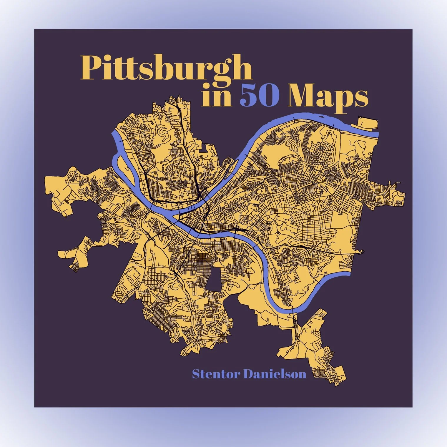
Pittsburgh in 50 Maps
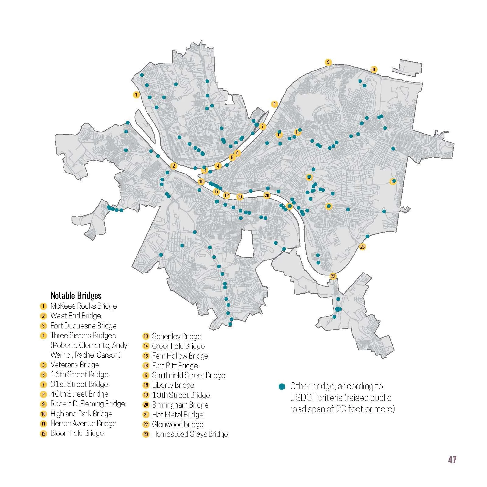
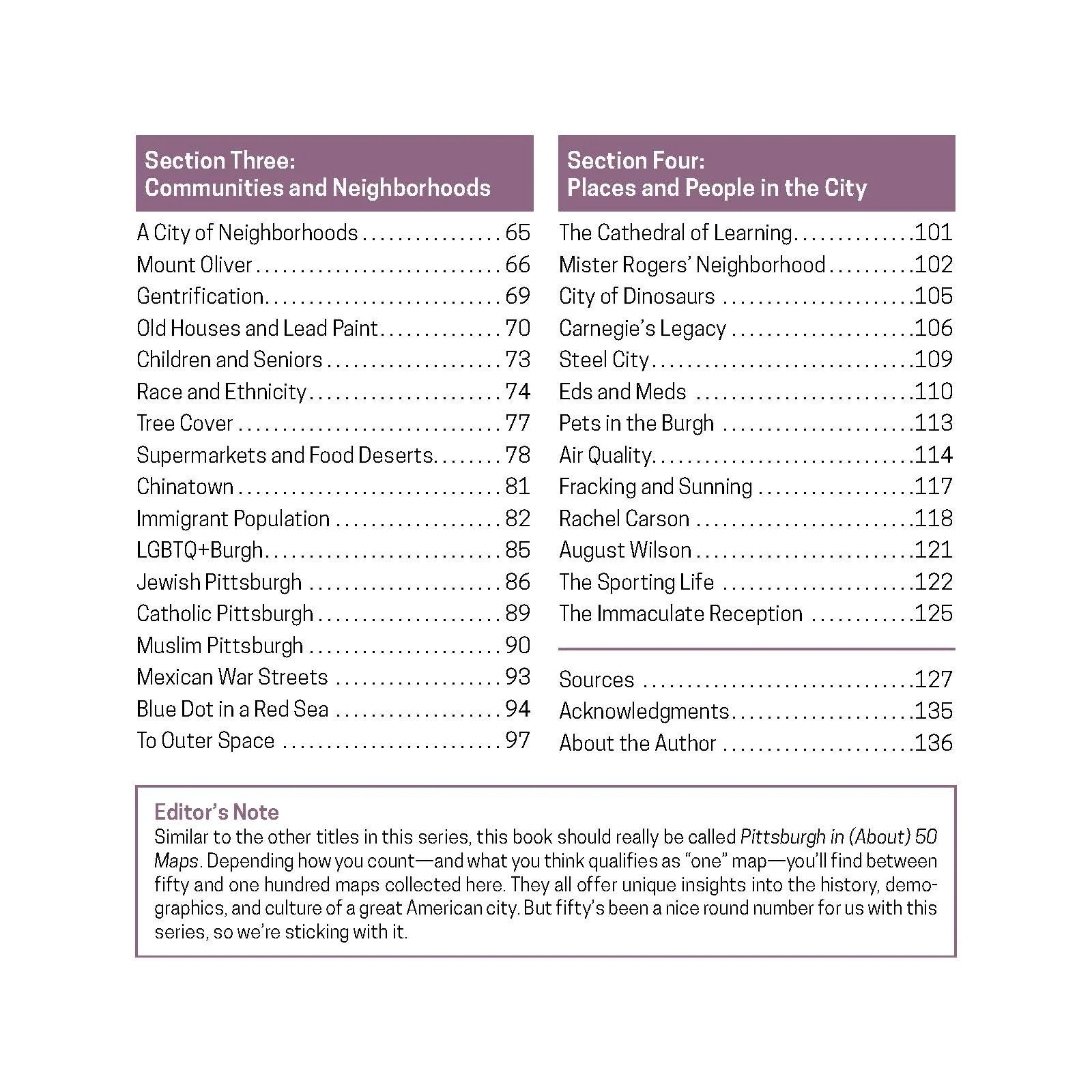
This book offers fresh ways to see a city at a crossroads—culturally, economically, and demographically. Maps can show roads, bridges, waterways, terrain, and population changes. The best ones, though, capture how a city feels. Known as the Steel City, City of Bridges, City of Champions, Hell with the Lid Off, or the Paris of Appalachia, Pittsburgh has a distinct character. Pittsburgh in 50 Maps maps the city’s 90 neighborhoods (plus Mister Rogers’ Neighborhood), the steel industry’s legacy, and ongoing immigration. It also highlights where bike lanes, supermarkets, tree cover, and even fiberglass dinosaurs are most common. Each colorful map reveals a new perspective on this surprising city and its people—perfect for locals, newcomers, and anyone curious about Pittsburgh.
Dimensions: 8”W x 8”H
136 pages. Hardback. Publisher: Belt Publishing.